
A road trip planner should answer three questions before it produces a map: How much driving can the travelers comfortably do, what deserves an overnight stay, and what happens if a road, attraction or vehicle becomes unavailable? A route that connects five beautiful points may still fail if it ignores breaks, weather, check-in times or a long return leg. Build the road trip around sustainable driving days and confirmed stops, then use navigation for the final route. This guide is about driving logistics rather than the general day-by-day sightseeing itinerary.
Choose daily driving capacity before the route shape
Start with how many nights are available and whether the destination is a round trip or one-way journey. For each driver, identify a comfortable driving window based on actual experience, road conditions and fatigue. Avoid treating the maximum number of map-estimated hours as a daily goal. Drivers need breaks, meals and recovery, while travelers may want enough daylight to enjoy a destination rather than arrive at the hotel exhausted.
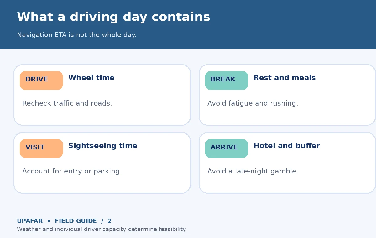
As an illustrative planning exercise, a navigation app may estimate five hours of wheel-turning time for a day’s route. Once you add two or more stops, traffic, fuel or charging, finding parking and the final walk to lodging, the door-to-door day can be substantially longer. That is not a prediction for any specific highway. Consider a shorter drive with a meaningful stop instead of a marathon that leaves everyone too tired for tomorrow’s activities.
Design overnight bases to reduce backtracking
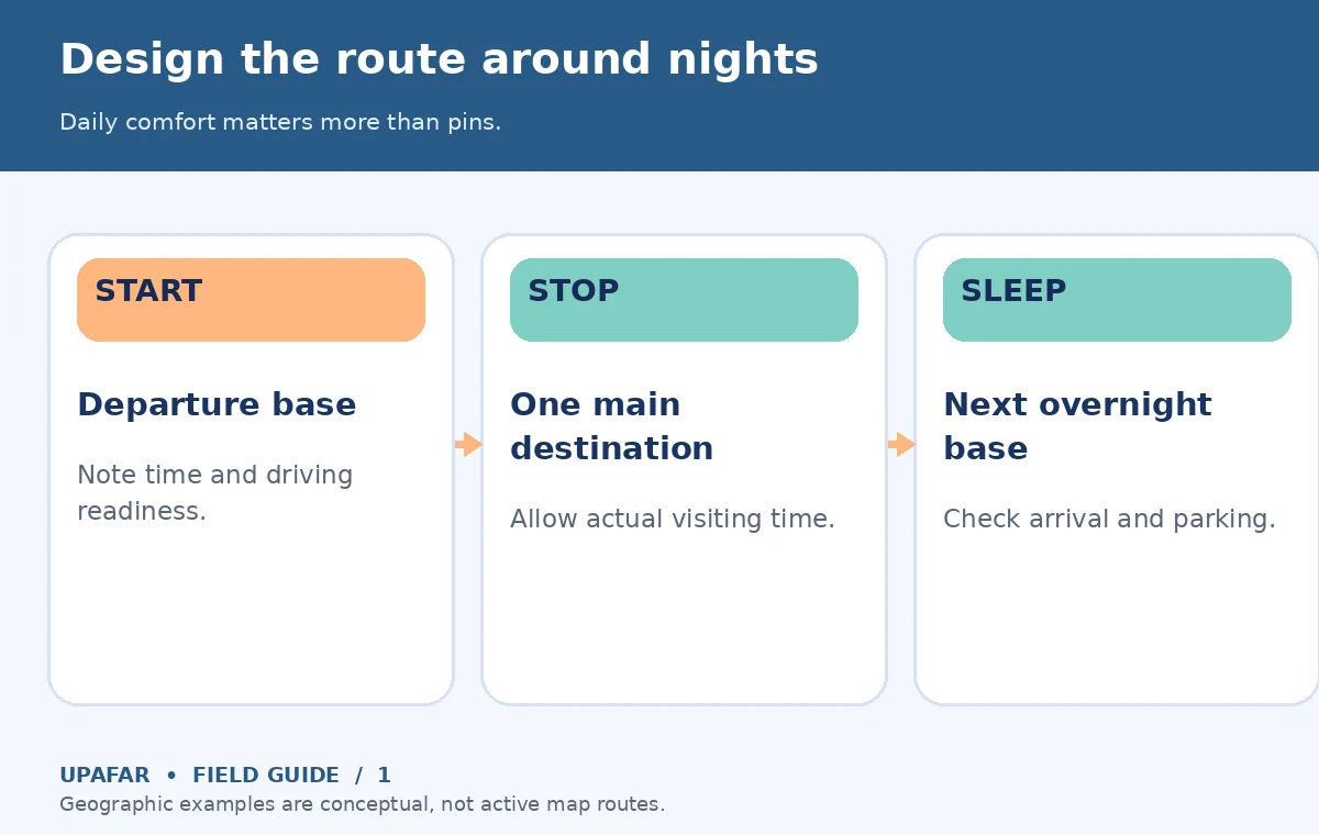
Place the anchor destinations on a map and connect them in a sensible geographic order. For a loop, look for a route that avoids crossing the same long corridor repeatedly; for a one-way rental, compare return terms and logistics before paying. Choose overnight towns for practical reasons as well as charm: arrival-time reception, parking or EV charging, places to eat, and how easily the next day’s main attraction can be reached.
The National Park Service’s trip guidance recommends checking individual park fees, reservations, alerts and operating conditions before arrival. For parks and remote landscapes, a line through the middle on a map is not proof that a road is public, drivable, open in your season or suitable for your vehicle. Check the relevant highway authority, land manager and local notices for each important segment.
Calculate the full cost of each driving day
A practical road-trip budget has driving costs and stop costs. Estimate fuel or charging from the vehicle and actual route, then add tolls where applicable, parking, lodging, meals and paid attraction access. Rentals can carry different mileage rules, drop-off fees, driver requirements and insurance terms. Never assume one figure covers them all. For international driving, licensing and insurance laws need verification for the destination and the driver’s nationality.
Use a small scenario comparison instead of a false national daily-cost average. Option A might add a scenic detour and an extra hotel night; Option B might keep the direct road and fund a longer stay in one place. The value of a detour depends on how much time it consumes. If a route forces repeated late arrivals, it is probably overpacked even when the gas estimate appears affordable. Compare the whole trip, not merely distance in miles.
Confirm the vehicle is ready for your itinerary
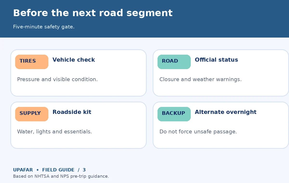
The National Highway Traffic Safety Administration recommends checking tires at the vehicle manufacturer’s specified pressure, lights, fluids, wipers, recalls and other vehicle systems before a long road trip. The same guidance advises preparing a roadside kit with essentials such as a charged phone, water, first-aid supplies, appropriate tools and a flashlight. Some items or precautions differ for an electric vehicle, rental or remote route; use the vehicle manual and local conditions to personalize the check.
Do not use the maximum pressure molded on a tire as the everyday inflation target. NHTSA points travelers to the pressure on the vehicle placard or manual. Check a spare or tire-repair equipment if equipped and understand the rental’s assistance instructions. If carrying children, use the appropriate car seat or booster under the rules that apply to your route. A healthy vehicle and a backup assistance number are more useful than an elaborate itinerary with no roadside plan.
Account for weather, daylight and road status
Check an official weather forecast along the route, not only at the destination. Mountain roads, desert heat, heavy rainfall and coastal storms can affect safety and access long before a visitor reaches an attraction. The NHTSA road-trip guidance explicitly recommends checking traffic, weather and road conditions before leaving and sharing your route and expected arrival with others. A scenic road should be treated as optional if conditions make it unsafe.
Build a clear go/no-go threshold: if visibility, road closure or driver fatigue makes the planned leg unreasonable, which overnight stop can change? Which ticket can be moved or abandoned? Do not plan unverified shortcut roads because a map offers a blue line. For national parks, some routes and services are seasonally limited; consult individual park notices rather than using a generic ‘open all year’ claim. Carry maps that remain usable if coverage drops.
Balance scenic stops against rest and driving safety
For each day, choose one main destination and perhaps one brief roadside stop. Label the stop as ‘must see’, ‘weather dependent’ or ‘optional.’ That helps prevent every overlook from becoming a deadline. Scenic roads are often slower because of terrain, pullouts, pedestrian activity and variable conditions; do not apply highway cruising speed to an entire mountain or coast day. Recalculate the day after adding the actual visiting time and the return to your lodging.
Share driving duties only when every driver is legally permitted, rested and covered by the rental terms or insurance where relevant. Breaks are a safety measure, not wasted sightseeing time. If a driver reports fatigue, adjust the route rather than trying to recover lost time through speeding or skipped meals. In unfamiliar terrain, arriving in daylight may be worth more than another photo stop. Check accessibility and restroom availability for the entire party before committing to isolated stops.
Make a route sheet with a disruption alternative
For each day, store the start and end base, main destination, planned road, expected drive estimate, official alert source, fuel or charging point, food or rest stop and backup. Keep the reservation or ticket reference separate. Let passengers know the overnight address and the approximate arrival time, and give someone outside the vehicle a route outline when heading into a remote area. The NPS planning and safety resources emphasize preparing for emergencies rather than assuming a day will unfold exactly as planned.
The night before each long leg, recheck the weather, road closures, daylight, booking access and vehicle status. On the morning of departure, review the route again. If a suggested detour has no verified access or reliable fuel/charging, skip it until confirmed. A good road-trip planner creates choices you can safely change, not a rigid sequence you must complete at any cost.
How We Research safe road-trip planning
Our method draws on NHTSA’s vehicle, route and roadside-preparation guidance, NPS visitor planning and NPS emergency trip-planning resources, reviewed October 19, 2026. Diagram distances and driving-day choices are conceptual rather than live routing data, traffic forecasts or evidence of a road’s open status. Consult the appropriate road authority and operator before departure. The UpAfar affiliate disclosure explains our linking practices; no rental or navigation-app partnership is claimed.
Frequently Asked Travel Questions
There is no single safe quota for every driver and road. Account for fatigue, conditions, breaks and sightseeing, and set a conservative limit you can sustain.
Choose bases that minimize backtracking and provide reliable lodging, parking, rest and sensible access to the next day’s main stop.
No. Add parking, restrooms, meals, fuel or charging, admission queues and on-site visits before estimating your full day.
NHTSA recommends tires, fluids, wipers, lights, recalls and emergency supplies; adapt this to your vehicle and local conditions.
Do not assume an alternate road is passable. Confirm the official road status, reroute or shorten the day, and protect a backup overnight option.